One of the most time-consuming parts of building maps is finding the data sets you want. I’m often forgetting where I found different datasets, and I wanted to share some of the ones I like to go back to.
USA Datasets
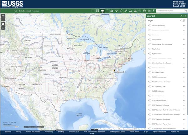
USGS National Map
https://apps.nationalmap.gov/viewer/
Mineral Resources Online Spatial Data:
https://mrdata.usgs.gov/general/map-us.html
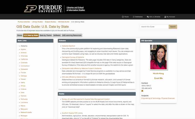
Purdue’s GIS Data by State
A concise list of important resources available to you on the web and at Purdue. https://guides.lib.purdue.edu/c.php?g=353290&p=2378621